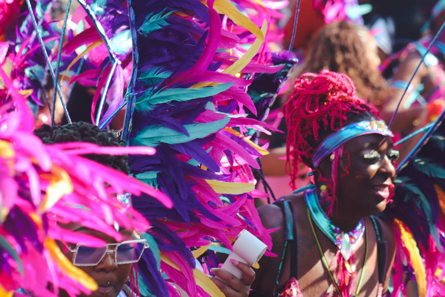
In looking back at our history we are reminded of the contributions made not only to Carnival but to the development and growth of Leeds over the years. Capturing where we started and how we came to be one of the UK’s most adored Carnivals is a key part of our history.
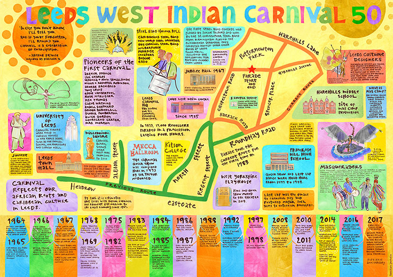
As well as showcasing artefacts and ephemera, a special 50 Years of Leeds West Indian Carnival exhibition at The Tetley gallery in Leeds also featured a uniquely illustrated piece which charted the heritage and beginnings of the carnival set against a Leeds map of the Chapeltown area of Leeds where it all began, the various routes the Carnival parade and which picks out key moments over half a century to 2017.
Created by artist Teresa Flavin who worked closely with carnival contributors to explore the fascinating history, the resulting map was a popular feature of the exhibition, find out out more here.
The large scale size map is also a useful educational resource and is a great tool which we are happy to share with schools, colleges, and community groups. A pdf of the map ready for printing to A1 size can be downloaded here. Please contact us for a hi res version for high quality large print.